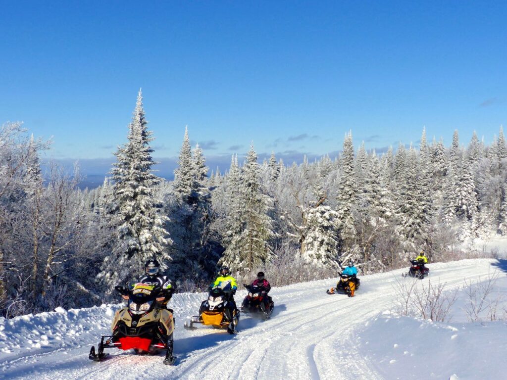
Self-Guided Mont Laurier Area Snowmobile Tour Itinerary
Total Central Quebec Distance – 655 kilometres Download PDF Itinerary. View Tour Article.
Notes: Toll free phone numbers are included only when they connect directly to the hotel (as opposed to an off site reservation system). TQ = Trans Quebec; RT = Regional Trail; LT = Local Trail. Trails or services may change from the time of my tour; please reconfirm info by using the contacts provided before departing. #QuebecOriginal
Mont Laurier Area Snowmobile Tour Itinerary
Where To Stay
Comfort Inn, Mont Laurier. With trail access, this snowmobiler-friendly hotel is a great staging location for the following day rides around the area.
1st Day
(TQ = Trans Quebec; RT = Regional Trail; LT = Local Trail)
230 km loop. Ride west via TQ63&13w/LT225n/LT227 or LT228e/TQ13n/RT322n (gas & food at Club Fontbrune on LT23 or Village Windigo on RT322) /TQ13/63w/RT324e/LT224e/LT230n.
2nd Day
269 km loop. Ride east via TQ63e/RT319s/RT323n/RT325n (Gas & food at Rivière-Rouge) /TQ63w/RT319n/RT322w/TQ53s/TQ63w/LT263w.
3rd Day
256 km loop. Ride north via TQ13n (gas & food at Saint-Anne-du-Lac) /RT319e (Gas & food at Club Meekos) /TQ53s/LT224w/LT230n.
Optional Ride:
Ride southwest 232 km via TQ63&13w/TQ13s (Gas & food at Maniwaki) /322e/53n/63w
Mont Laurier Area Fast Facts
Who To Contact
- Tourisme Quebec
- Tourisme Laurentides
- FCMQ (for permits and trail info)
Maps Needed
Laurentides Snowmobile Trail Map
Riders should reconfirm the routes and services mentioned in this article as they may have changed since publication.
