
Self Guided RAP Snowmobile Tour Itinerary
Total Round Algonquin Park distance: 1,609 kilometres.
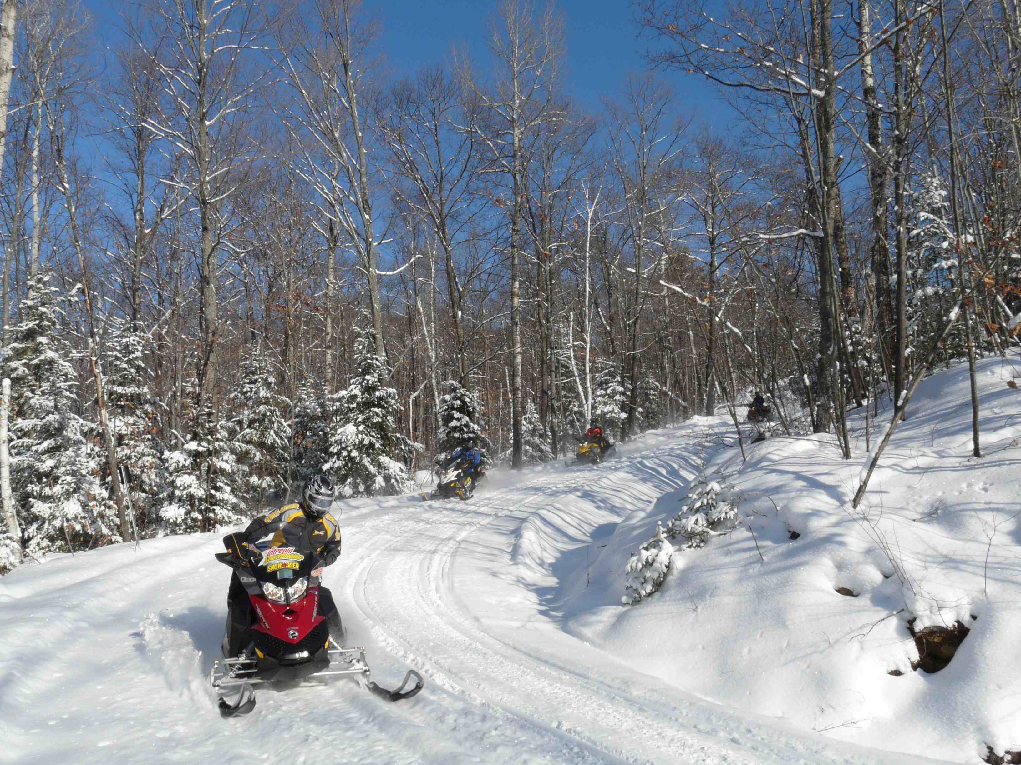
For complete details, check out tour article – Big Loop ‘Round Algonquin. Download PDF of itinerary.
Notes: The direct route by snowmobile trail around Algonquin Park can be completed in as little as three days of steady riding. This tour follows a longer, less direct route on a bigger loop around the park. Toll free phone numbers are included only when they connect directly to the hotel (as opposed to an off site reservation system). TOP = Trans Ontario Provincial; Club Trail = CT. Trails or services may change from the time of my tour; please reconfirm info by using the contacts provided before departing. #ontariosnowtrails #ridetherap #gosnowmobilingontario #snowtourontario
RAP (Round Algonquin Park) Day One
Trailer to North Bay (drive time from Greater Toronto Area: 4 – 5 hours; take Lakeshore Drive exit off Hwy 11 northbound, then left at 1st lights on to Pinewood Park to hotel). Where We Stayed: Quality Inn North Bay Airport. Direct trail access either via SSR 711 from TOP D.
RAP (Round Algonquin Park) Day Two
North Bay to Pembroke (about 8 hrs.) Ride 300 km via TOP D south/TOP A102D east/TOP A east to CT 121 (use District 11 region map to Mattawa and District 6 map from there). Top notch riding on forest access roads and utility corridors. Fuel Stops: Stonecliffe, Pembroke. Lunch: Deux Rivières. Where We Stayed: Best Western Pembroke Inn. Located across road from CT 121 off TOP A.
RAP (Round Algonquin Park) Day Three
Pembroke to Calabogie (about 9 hrs.) Ride 300 km via TOP A south/TOP E104A west/TOP E north (maps: use District 6 to Renfrew, then District 1). Lots of open fields and unopened road allowances for primo trail riding. Fuel Stops: Renfrew, Calabogie. Lunch: no restaurants marked on trails after Arnprior. Where We Stayed: Calabogie Motor Inn. Located across the road from TOP E and beside Murphy’s Landing restaurant and bar. Fuel is located about a kilometre east of motel on TOP E trail, past the intersection of TOP E102.
RAP (Round Algonquin Park) Day Four
Calabogie to Deacon (about 9 hrs.) Ride 276 km via TOP E south & west/TOP E101 north/TOP E102 north/TOP B101A west. Use District 6 map. Many winding and hilly forest trails and some amazing forest access roads too! Fuel & Lunch Stop: Denbigh (from trail off lake, turn right on Hwy 41 for about .5 km), Deacon. Mandatory Butter Tart stop: Pine Valley Restaurant, Griffith. Where We Stayed: Sands on Golden Lake Inn & Resort. TOP B101A goes directly through hotel property.
RAP (Round Algonquin Park) Day Five
Deacon to (south of) Madawaska (about 7 hrs.) Ride 240 km via TOP B101A north/TOP B west/TOP B106A south/TOP E109 east/CT 173 north. Use District 6 map. Scenic forest trails plus rail trail along Madawaska River. Fuel Stops: Whitney, Madawaska. Mandatory Lunch Stop: The Mad Musher, Whitney (best burgers around!) Where We Stayed: Riverland Lodge & Black Bear Camp. Access from TOP B: lodge located on south side of Highway 60 just west of the Madawaska River bridge.
RAP (Round Algonquin Park) Day Six
Madawaska to Oxtongue Lake near Dwight (about 9 hrs.) Ride 268 km via CT 173/TOP B106E south/TOP E109 west/TOP E west/TOP B north/ CT’s 11 west, 16 north & 64 west/TOP D101B north/CT’s 65, 66 & 65/TOP D101B north/CT 74. Use District 6 map, then Haliburton County Snowmobile Association and District 7. First major lake running on CT 11. Fuel Stops: Kennisis Lake, Oxtongue Lake. Lunch: The Cookhouse, Haliburton Forest Reserve, Kennisis Lake. Where We Stayed: Blue Spruce Resort. Follow stake line across Oxtongue Lake for fuel, then go back onto the lake and turn left along the same shore about ½ km to hotel.
RAP (Round Algonquin Park) Day Seven
Dwight to North Bay (about 7 hrs.) Ride 225 km via CT 74/TOP D101B north/TOP D north//SSR 711 west. Note: TOP D has 13 km of road running from the intersection of TOP A101D south, so it’s best to ride this section when there’s plenty of snow on the roadsides. Fuel Stops: South River. Lunch: Antonio’s Grill, South River. Where We Stayed: Quality Inn North Bay Airport. Accessible from SSR 711.
RAP (Round Algonquin Park) Day Eight
Trailer home
RAP Who to Contact
Ontario Tourism, Ottawa Valley Tourism, Northeastern Ontario Tourism, Muskoka Tourism. Snow Country Snowmobile Association (District 6), Near North Trails Association (District 11), Muskoka Snowmobile Region (District 7)
RAP Maps Needed
(In order of tour use) Ontario Federation of Snowmobile Clubs Provincial Trail Guide, OFSC District 11 Trail Guide, OFSC District 6 Trail Guide, OFSC District 1 Trail Guide, Haliburton County Snowmobile Association Map, OFSC District 7 Trail Guide
Riders should reconfirm the routes and services mentioned in this article as they may have changed since publication.