
Fast Facts About Outaouais Trail Riding…
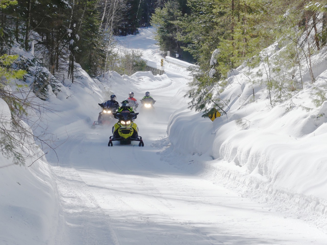
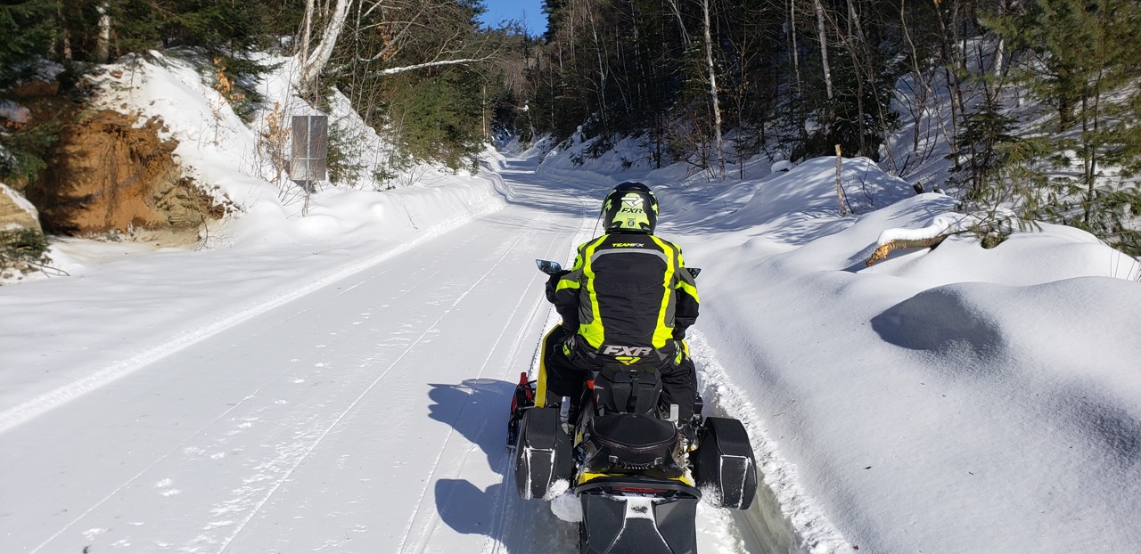
Photo © by Craig Nicholson
Related: Week Long Outaouais Area Saddlebag Tour
Check out everything you need to know about how to plan & do a saddlebag tour!
This Outaouais Quebec snowmobiling snapshot provides a quick overview to get you started in the region…
Outaouais Quebec Snowmobiling Options
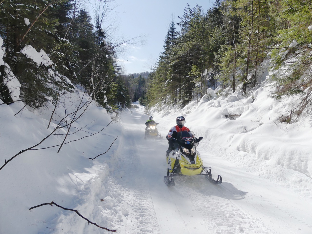
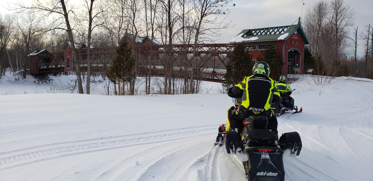
Outaouais Region clubs deliver tabletop trails like this. Photo by Al Fletcher
The Outaouais Region offers the closest Quebec snowmobiling to Eastern Ontario. Its southern edge runs along the Ottawa River. This huge swath of territory stretches west from about Montebello to Rapides-des-Joachimes (locally called “Swisha”). The region also runs north from the Ottawa-Gatineau area all the way to Abitibi-Témiscamingue.
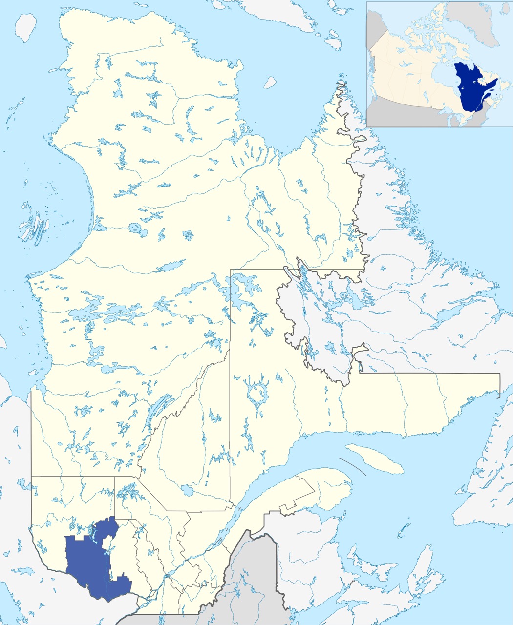
Map credit: Wikipedia
The Outaouais Region is home to 2,286 kilometres (1,420 miles) of snowmobile trails. They connect to Ontario trails by two major bridge crossings. Plus, they are also easily accessible by snowmobile from within Quebec (see Fast Facts below).
Eastern Trails

Sleds stopped in the centre of a groomer turnaround between two clubs. Photo by Al Fletcher
The more easterly part of the Outaouais Region trail network is located in its more populated area. That’s directly north of Ottawa-Gatineau, all the way north to the Reservoir Baskatong. These trails provide plenty of choices for day rides in the Haute Gatineau (Gatineau highlands). We put together three of these for our saddlebag tour.
Western Trails
2,286 kms (1,420 mi) of great trails in Outaouais Region. Photo © by Craig Nicholson
Meanwhile, for adventurous riders, the western part of the Outaouais Region delivers a very different experience. This wilderness area offers a 500-kilometre (330-mile) loop ride around its circumference. Along the way, there’s food, fuel and lodging at the intersections of Trans Quebec Trail 63 & Regional Trail 386 (double check to confirm). And again at Swisha.
But as mentioned, we stayed to the east for our three days of saddle-bagging. Here, we overnighted in lodgings at the Reservoir Baskatong, Duhamel and Maniwaki. So, to assist in your own ride planning, here are the fast facts you need for a visit to the Outaouais Region…
Outaouais Quebec Snowmobiling Fast Facts
Unique bridge on Trans Quebec 63 in Maniwaki. Photo by Al Fletcher
Access to Region by Road
- Via Ontario – by automobile bridges at Hawkesbury, Ottawa or Pembroke
- From within Quebec – by either Highway 148 or 117 from Montreal
Access to Region by Trail
- Via Ontario – by TOP Trail B101Q near Renfrew to Local Quebec Trail near Portage-du-Fort/Shawville or by TOP Trail A101Q at Rolphton to Local Quebec Trail at Rapides-des-Joachimes (locally called “Swisha”)
- From within Quebec – by either Trans Quebec Trails 13 or 63
Where We Stayed
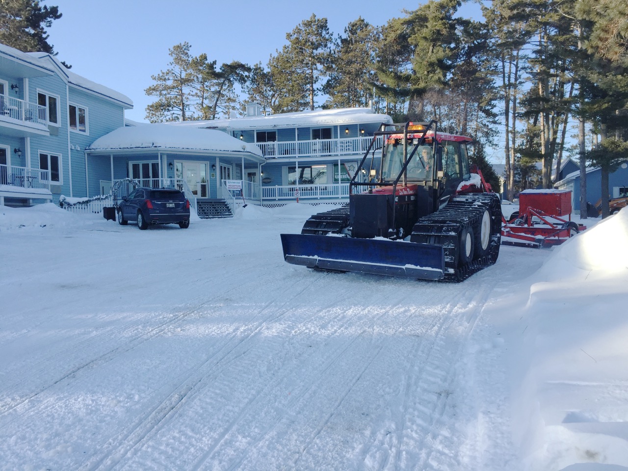
La Pointe à David, Lac Baskatong
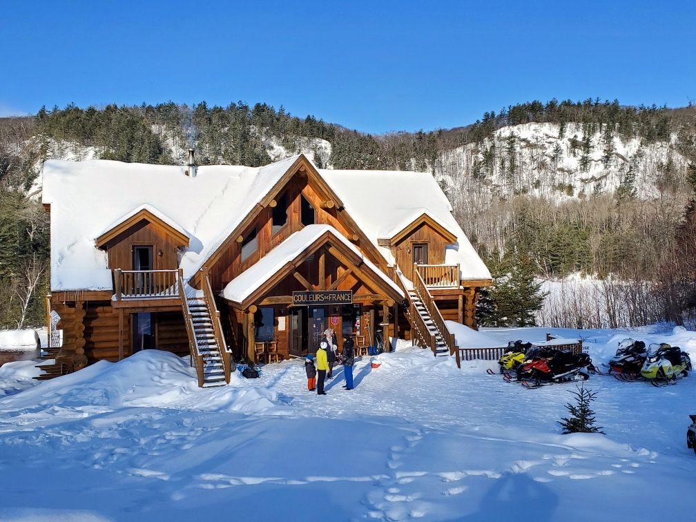
Auberge Couleurs de France, Duhamel
Auberge du Draveur, Maniwaki
Trail Access to Lodgings
- La Point à David – on Reservoir Baskatong via Regional Trail 322
- Auberge Couleurs de France – on east shore of Petit-lac-Preston via Trans Quebec 43
- Auberge du Draveur – in Maniwaki via Trans Quebec 63
Nearest Gas to Hotels
- La Point à David (on site)
- Auberge des Couleurs de France (Duhamel)
- Auberge du Draveur (Trans Quebec 13 on south side of Maniwakl)
3-Day Saddlebag Ride
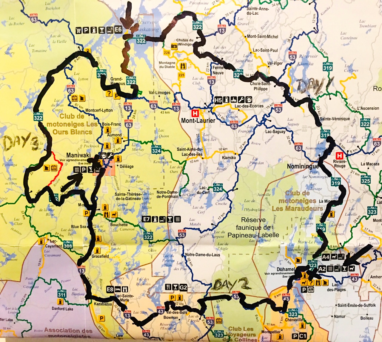
Our route for 3-day saddlebag ride
- Day 1 Ride: 223 km from Lac Baskatong (La Point à David) to Duhamel (Auberge Couleurs de France)
- Day 2 Ride: 240 km from Duhamel to Maniwaki (Auberge du Draveur)
- Day 3 Ride: 213 km from Maniwaki to Lac Baskatong (La Point à David)
Area Sled Dealers

Even the lakes get groomed in Outaouais. Photo by Al Fletcher
- Gatineau – Moto Gatineau (Polaris), Loiselle Sports (Ski-Doo)
- L’Ange-Gardien – Laperriere Motosports (Arctic Cat)
- Maniwaki – Équipments Maniwaki (Ski-Doo)
- Sainte-Cévile-de-Masham – Gavreau Ski-Doo
- Shawville – Campbell’s Polaris
Ride Planning Websites
#outaouaisfun
Like This Post? Follow Me on Facebook!
The tips and advice in this blog are the opinions of the author, may not work in every situation and are intended only for the convenience and interest of the reader, who has the personal responsibility to confirm the validity, accuracy and relevancy of this information prior to putting it to their own use.